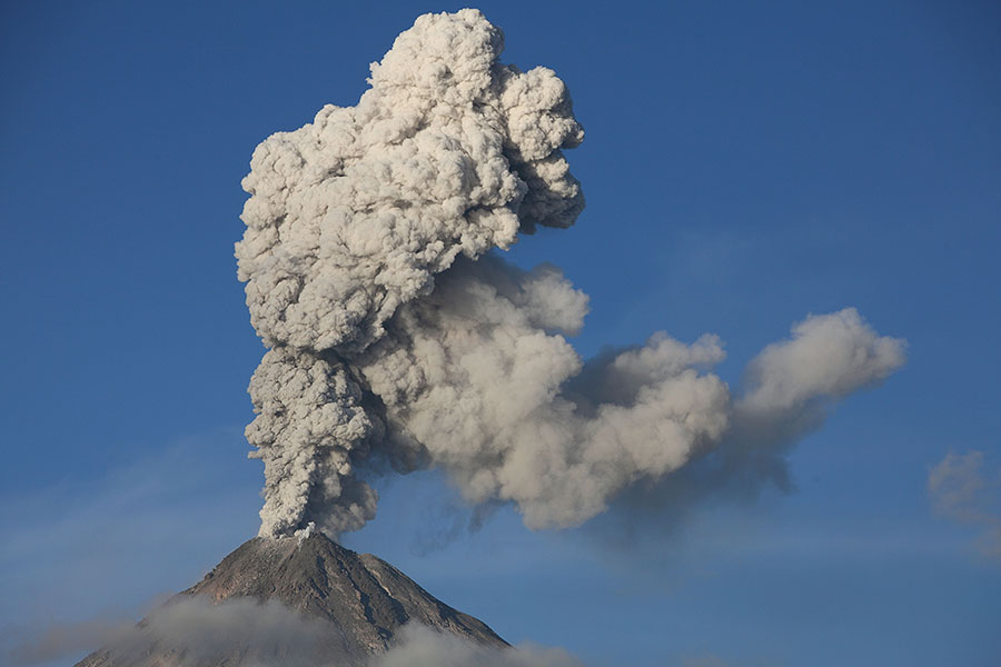
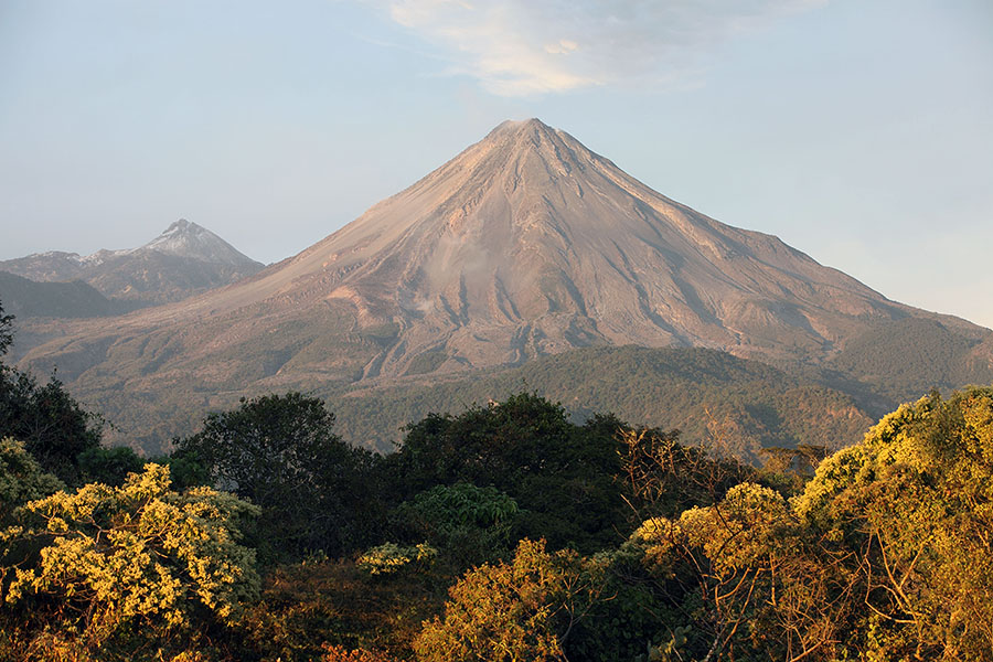
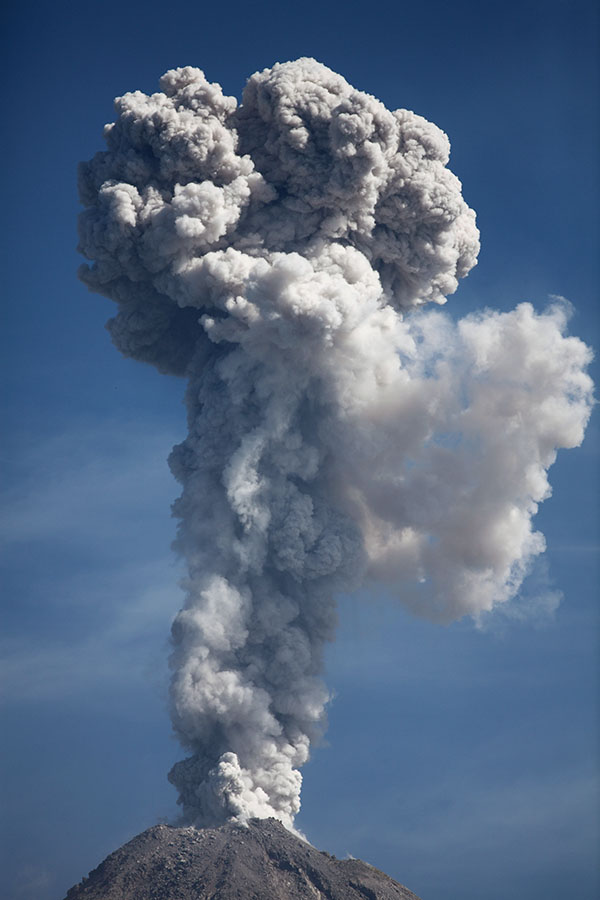
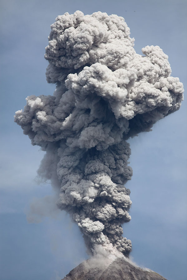
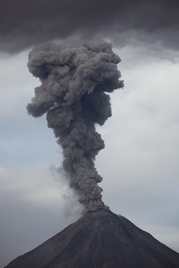
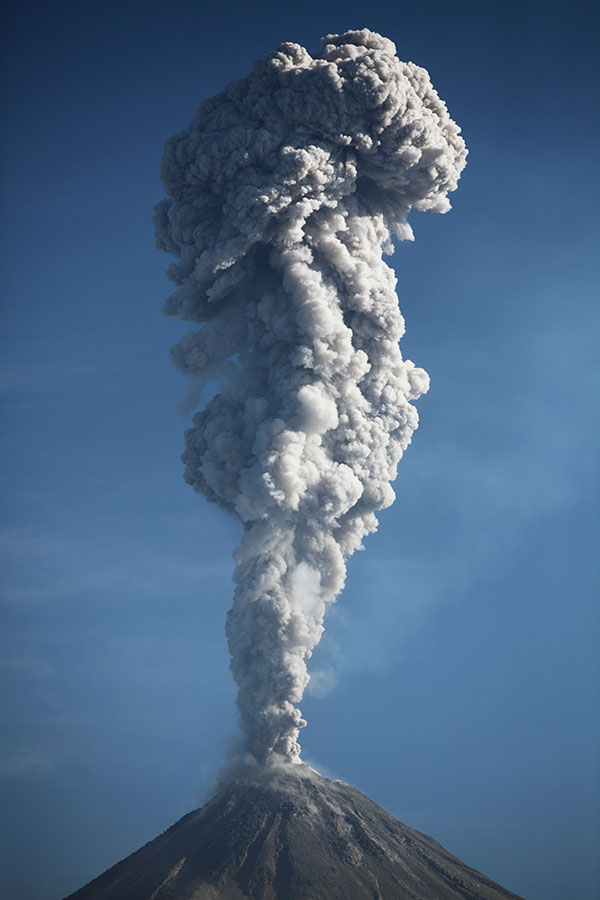
Colima erupting viewed from south
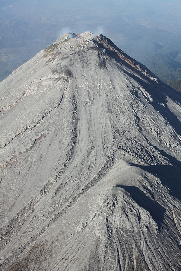
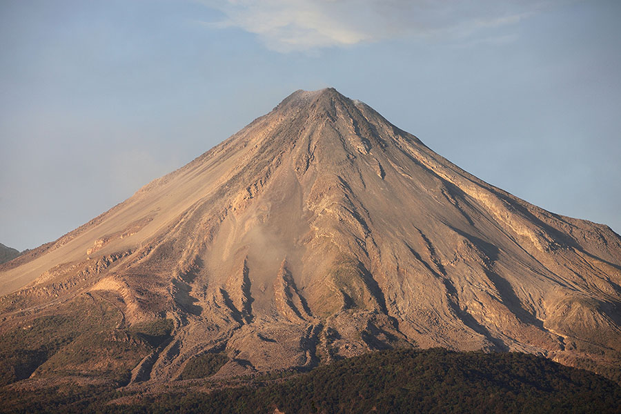
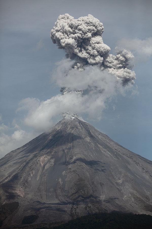
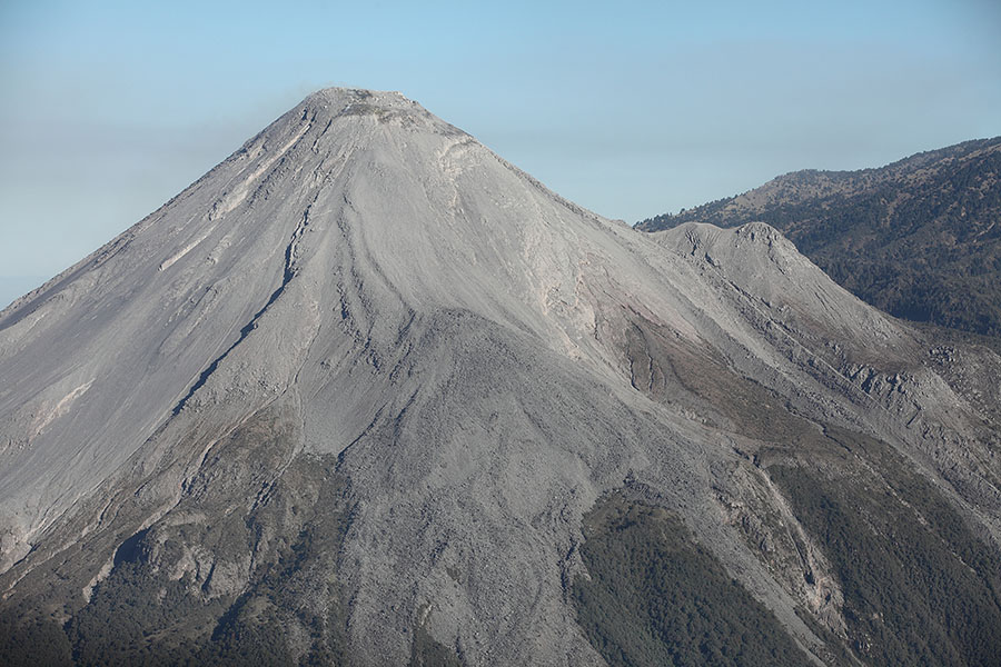
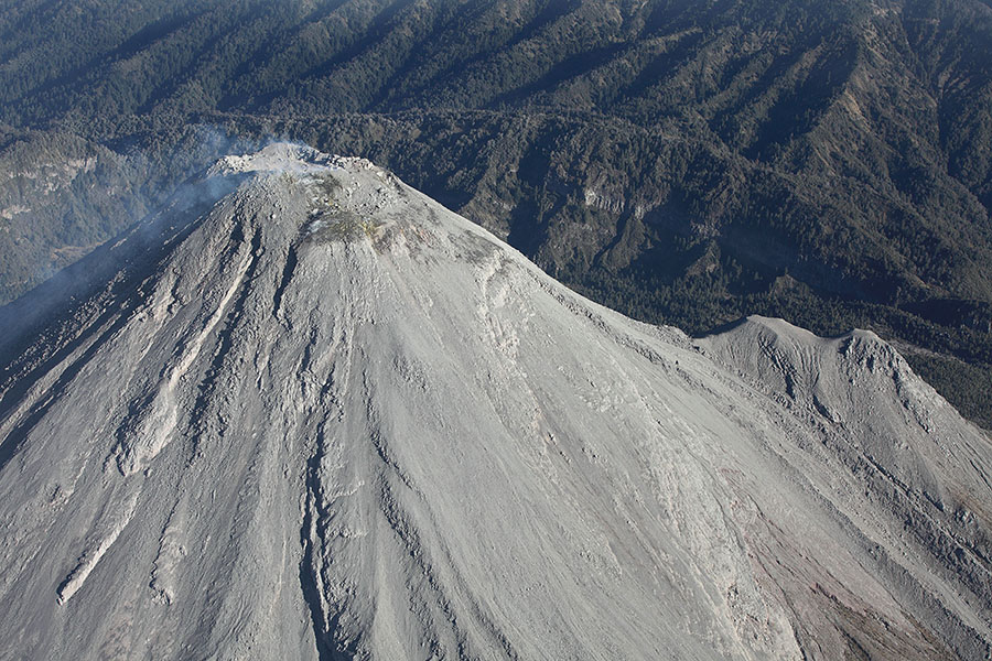
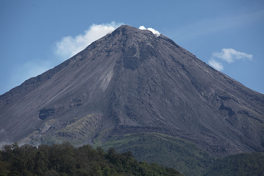
Colima Summit
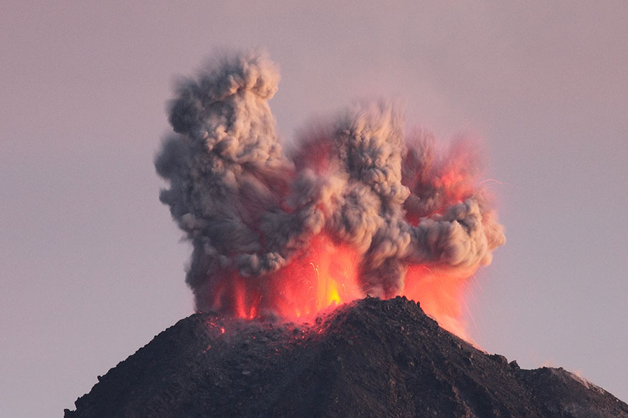
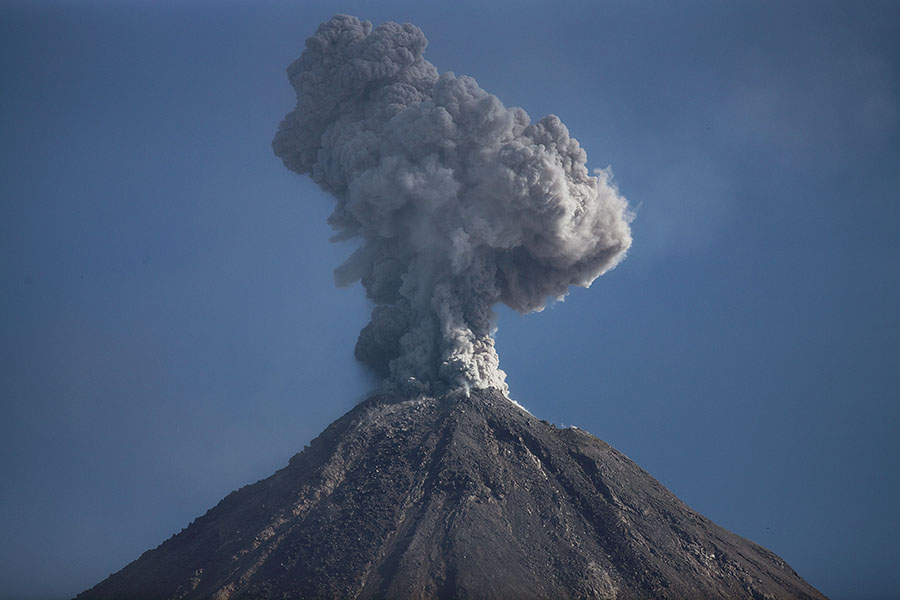
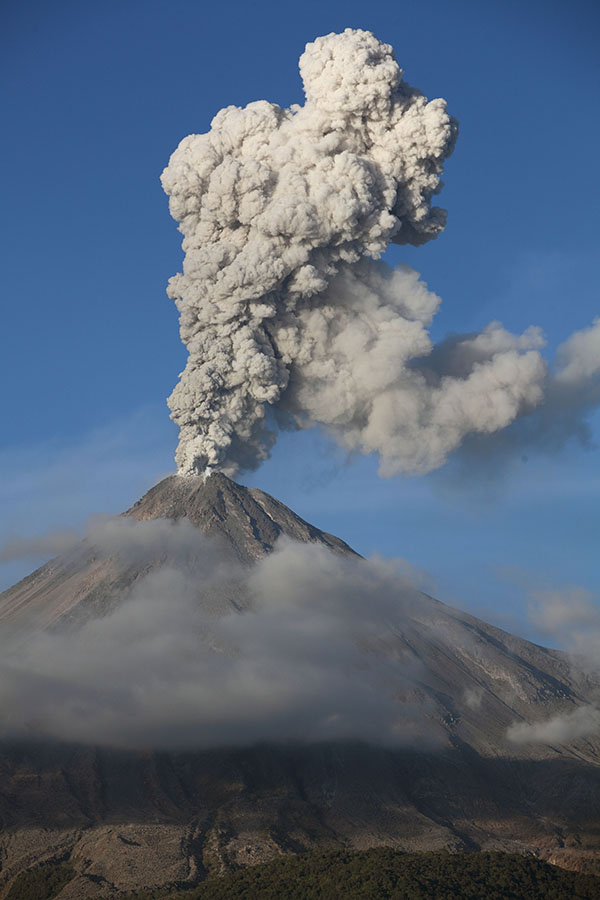
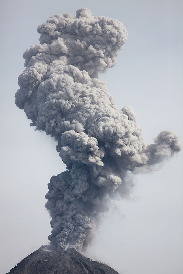
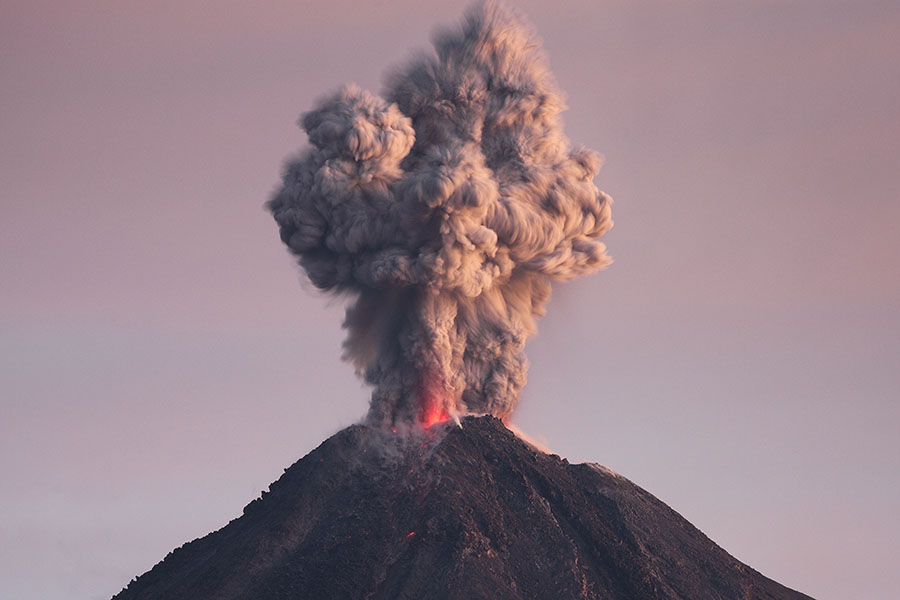
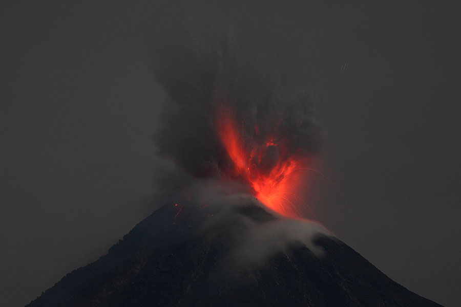
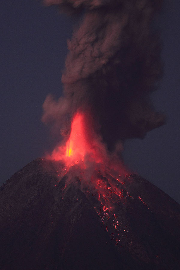
Eruption at dawn
|
|
|
|
Colima erupting viewed from south |
Colima Summit |
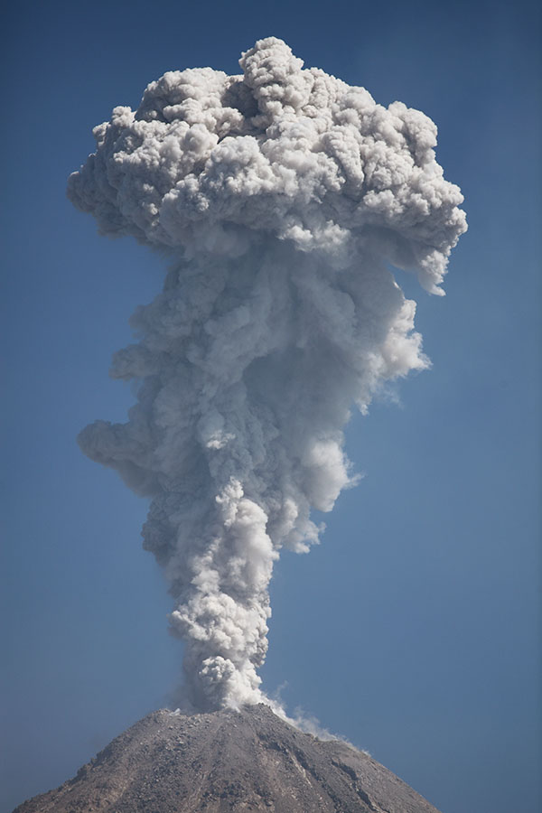
Eruption at dawn |
 |
 |
 |
|
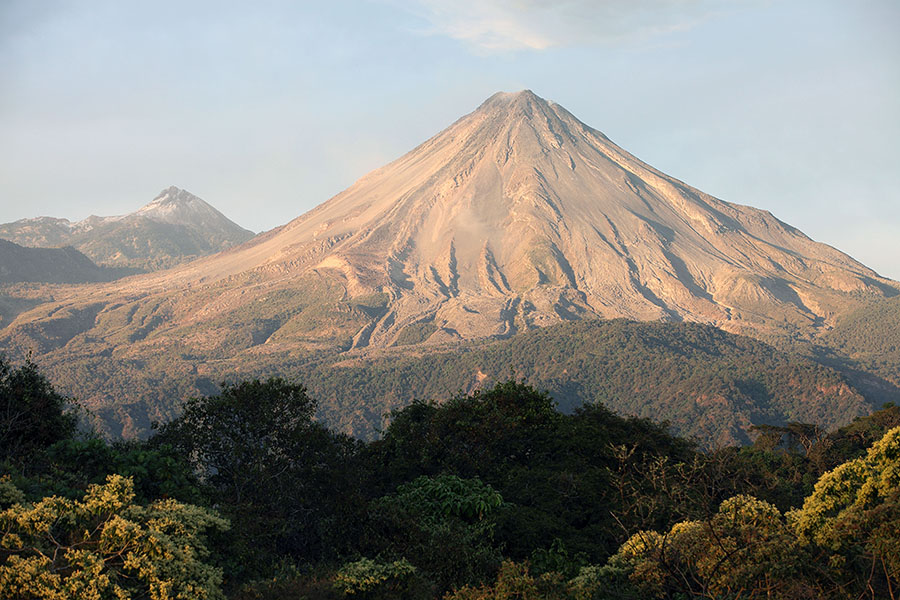
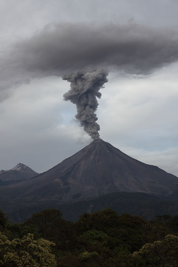
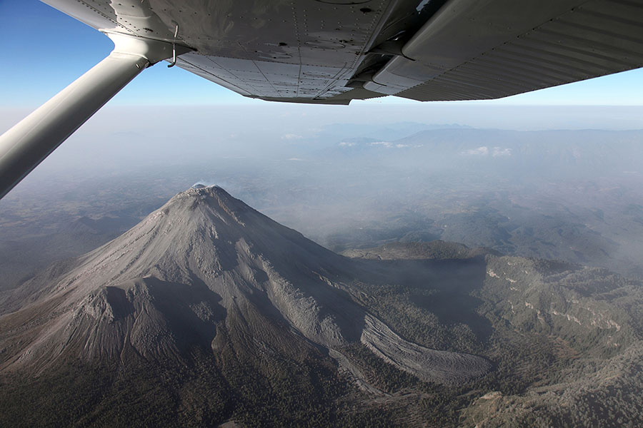
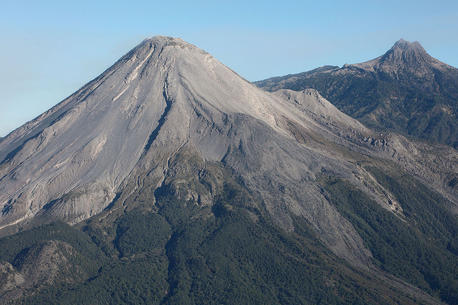
Colima complex from E. Fuego on left, Nevado on right |
Fuego de Colima in evening light |
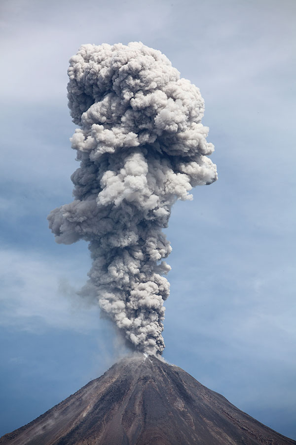
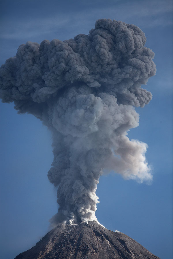
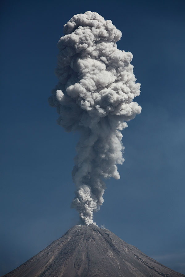
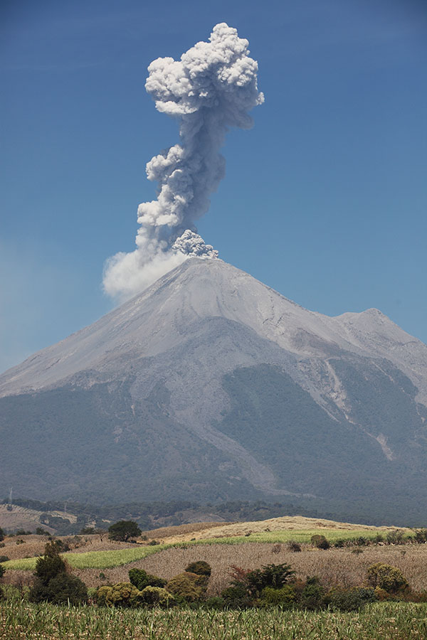
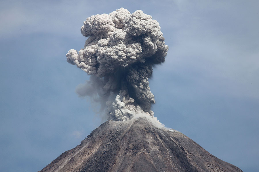
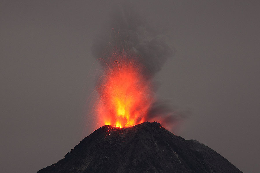
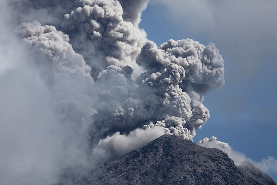
Explosive eruption |
 |
 |
 |
|
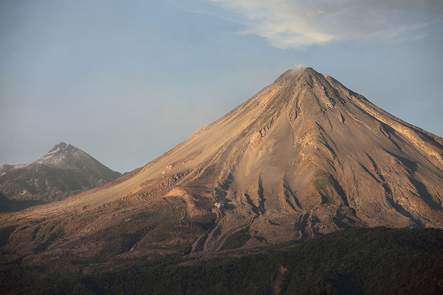
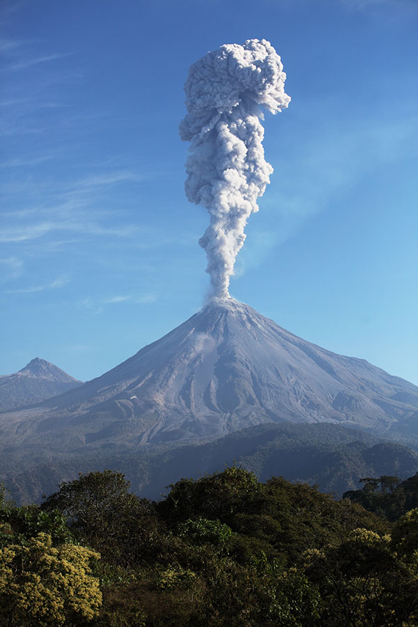
Fuego de Colima in evening light, Nevado de Colima behind |
 |
 |
 |
|
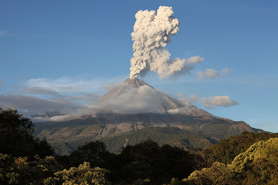
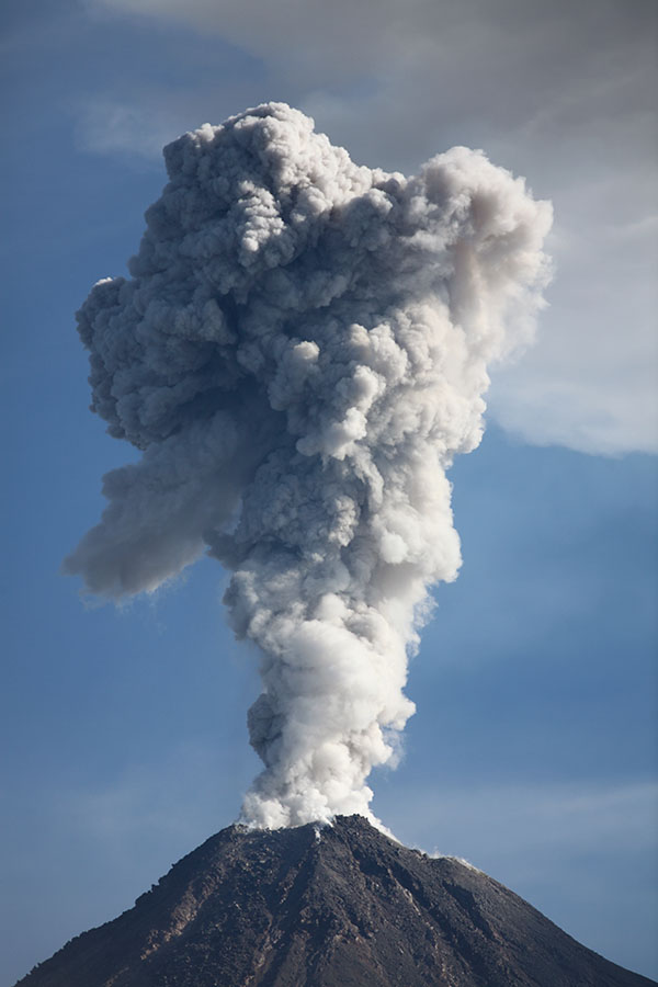
Eruption in late afternoon with Fuego slightly shrouded in cloud |
 |
 |
 |
 |
 |
 |
 |
 |
 |
 |
 |
|
Eruption thrusting dark ash cloud into ash from earlier eruption |
 |
 |
 |
|
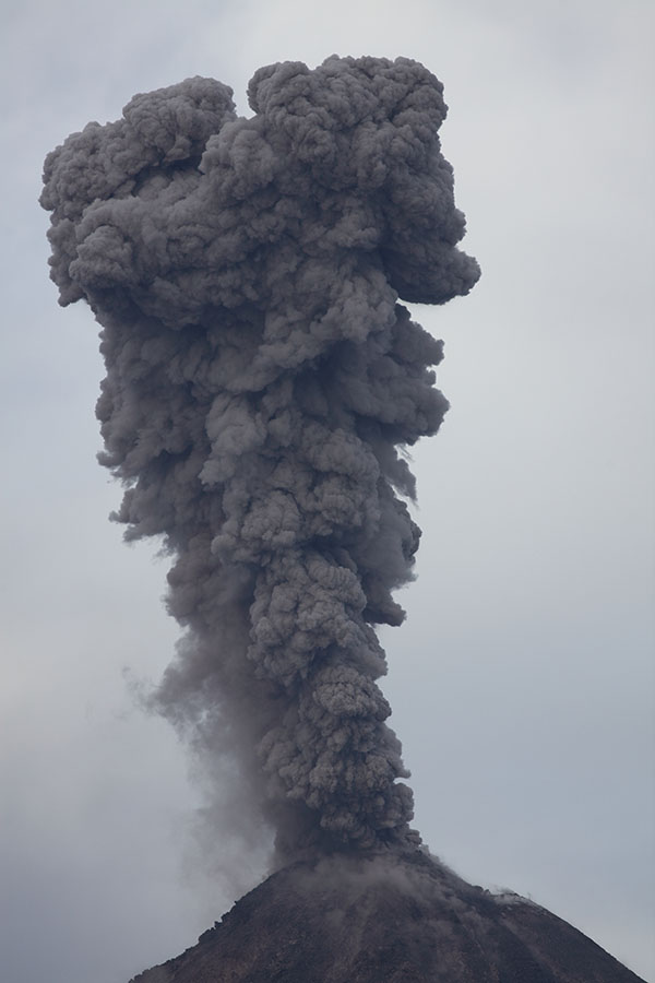
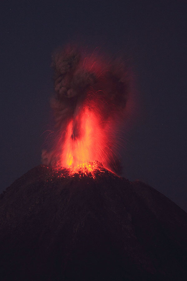
Eruption with straight column due to lack of wind |
 |
 |
 |
|
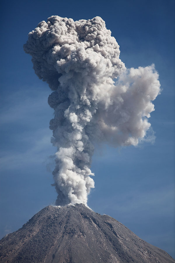
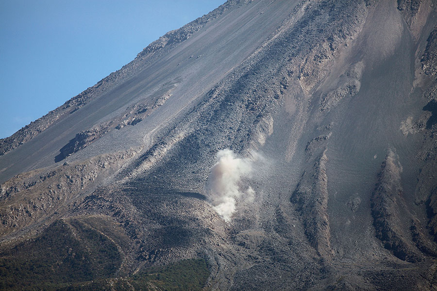
Poweful explosion partially obscured by cloud |
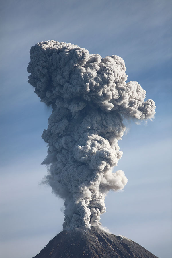
S-shaped ash cloud due to wind conditions |
Ash cloud viewed from East |
 |
 |
|
Eruption at dawn with visible incandescence |
Similar eruption during daylight |
 |
|
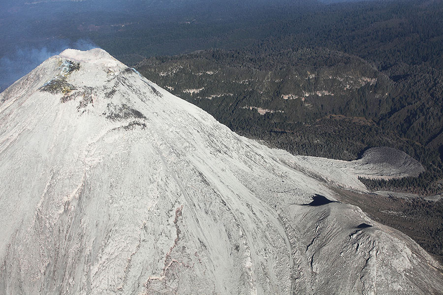
Late 2014 Lava flow deposit on W flank still sporadically degassing |
 |
 |
 |
|
Selection of Nighttime Eruptions |
 |
 |
 |
 |
|
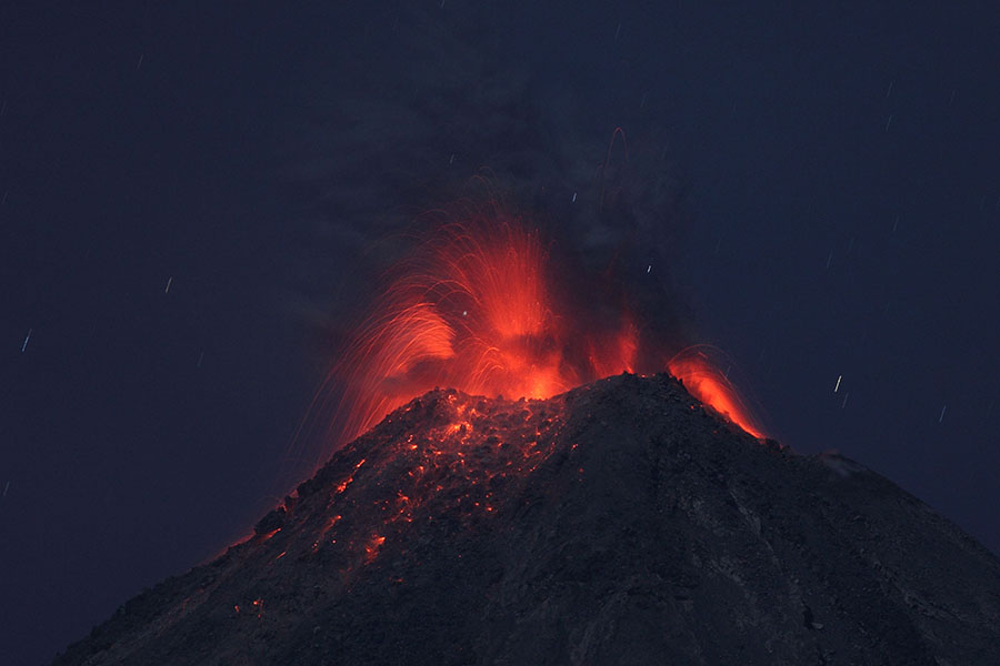
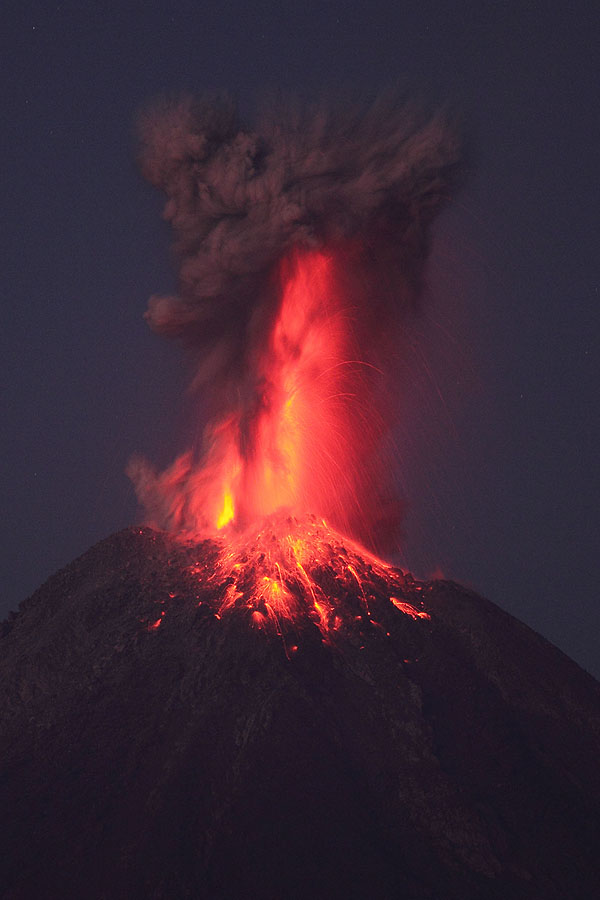
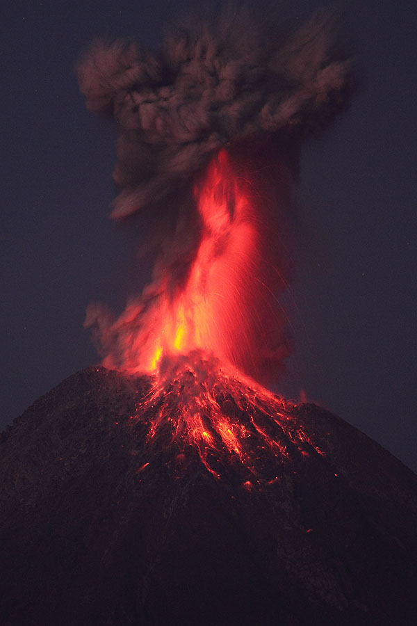
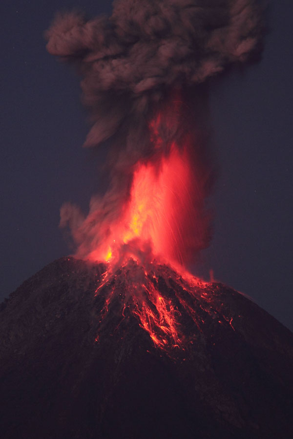
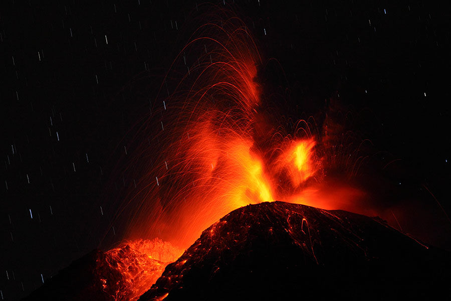
Powerful Nighttime Eruption (1/7) |
(2/7) |
(3/7) |
(4/7) |
 |
 |
 |
|
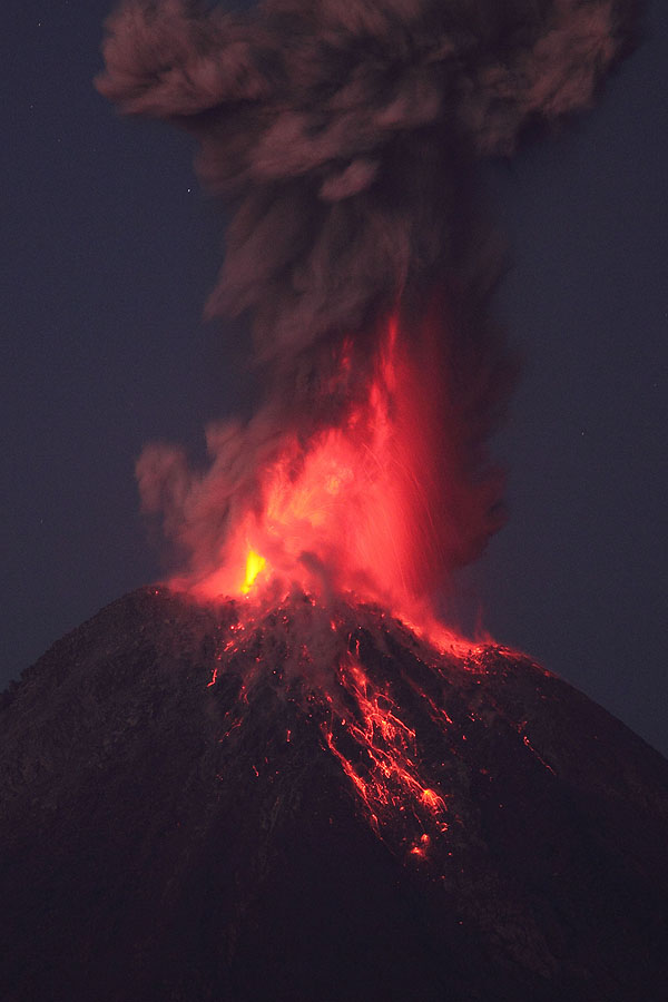
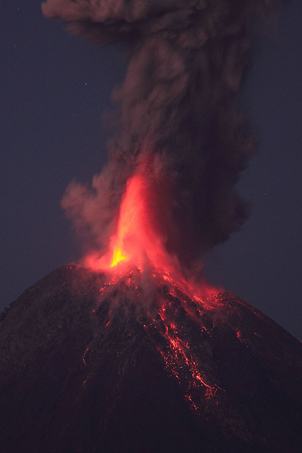
(5/7) |
(6/7) |
(7/7) |
 |
 |
 |
|
View from NW |
View from NW |
View from N |
 |
 |
 |
|
View from SE |
 |
 |
|
View from NW |
View from SE |
 |
 |
 |
|
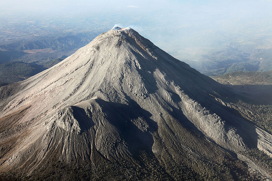
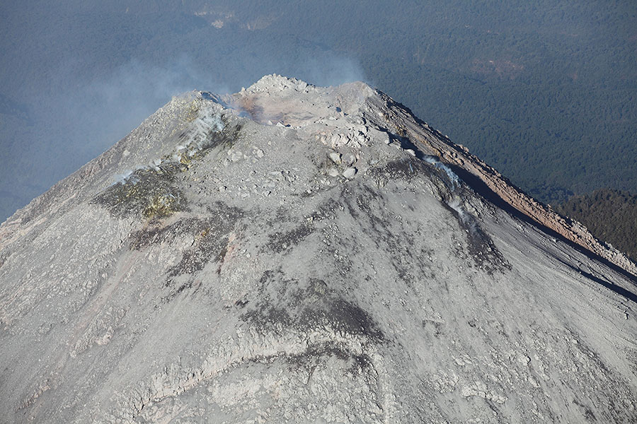
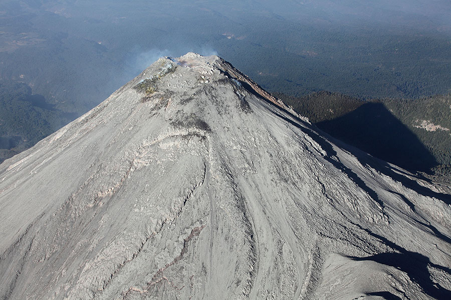
Summit crater complex viewed from North |
 |
 |
 |
|
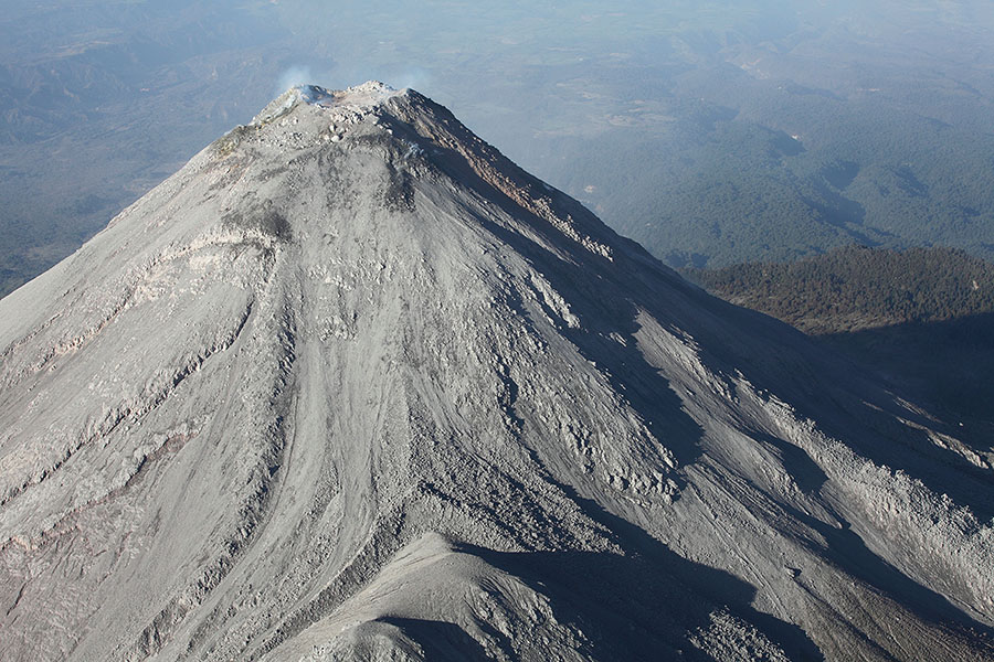
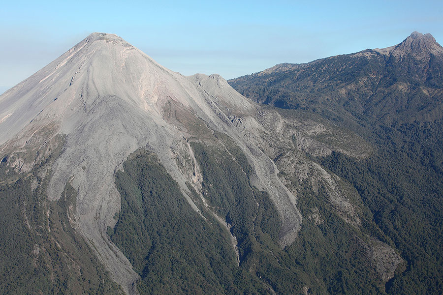
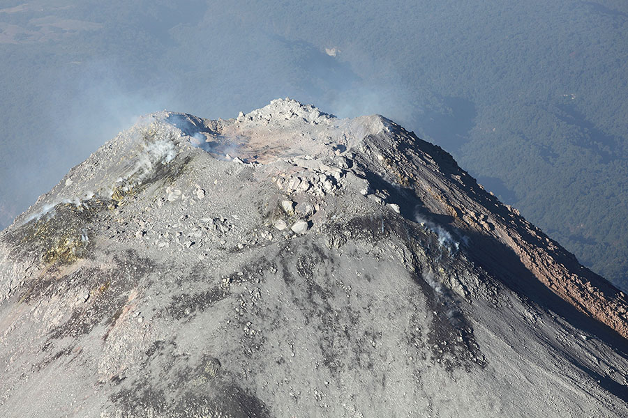
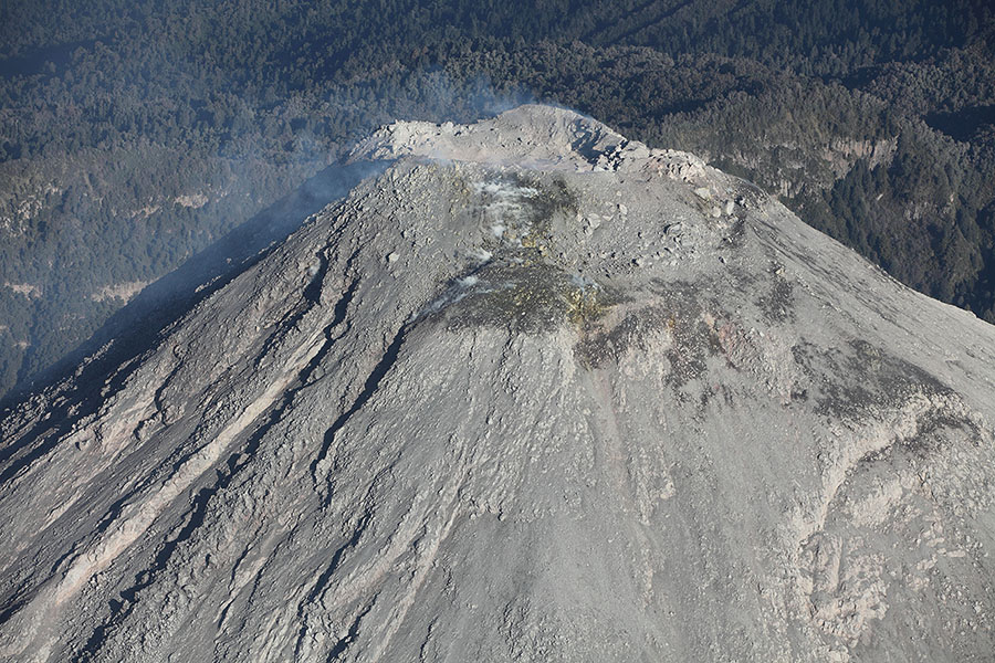
View from NE |
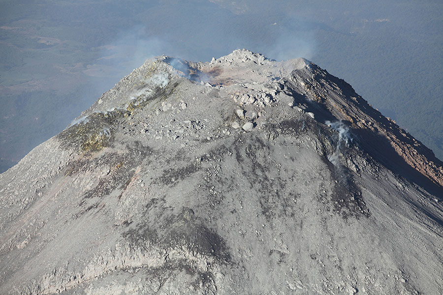
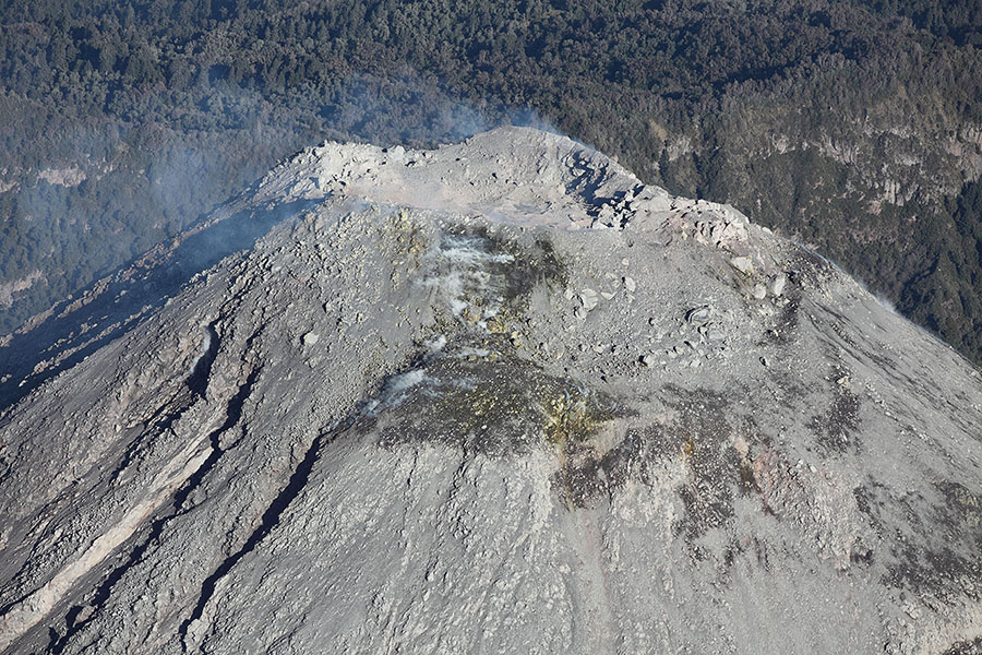
View from E |
View from E |
 |
 |
|
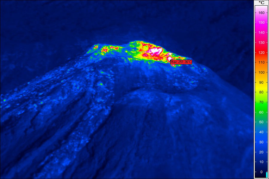
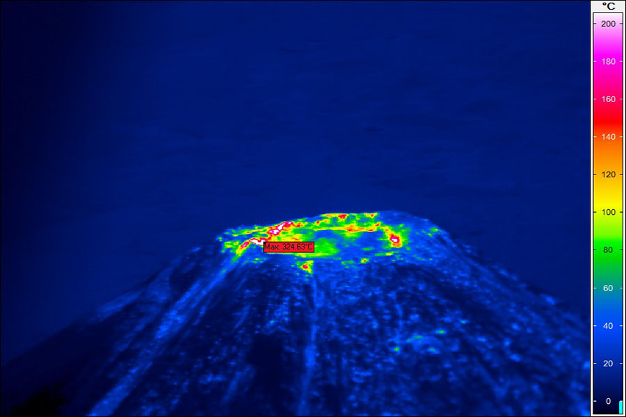
Thermal Camera Images (courtesy of N. Varley) |
Thermal Camera Images (courtesy of N. Varley) |
 |
 |
|
View of Colima from SW |
Eruption viewed from SW |
 |
 |
|
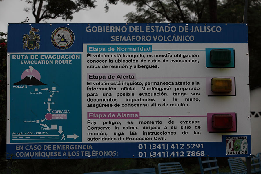
Warning sign East of Colima |
Nighttime Eruption viewed from East |
 |
 |
|
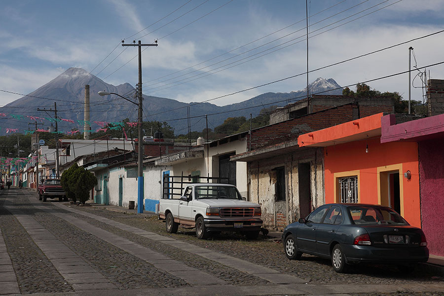
Village East of Colima volcano |
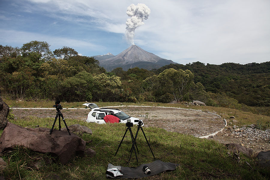
Southern Viewpoint (12km from summit) |
 |
 |
|
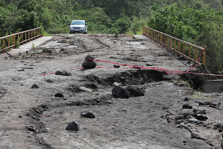
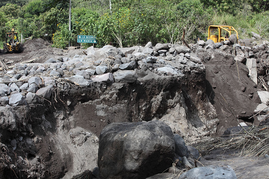
Lahar Damage due to Hurrican Patricia in 2015 |
Lahar Damage due to Hurrican Patricia in 2015 |