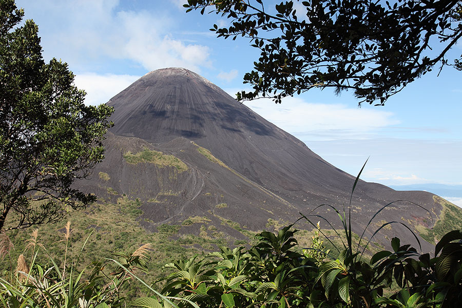
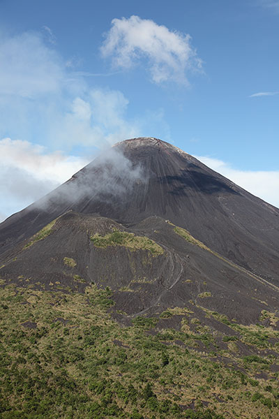
Soputan viewed through vegetation from NE
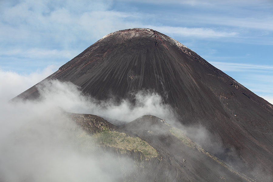
View from NE to Soputan. Aesoput cone partially shrouded in cloud
|
|
|
Soputan viewed through vegetation from NE |
View from NE to Soputan. Aesoput cone partially shrouded in cloud |
 |
|
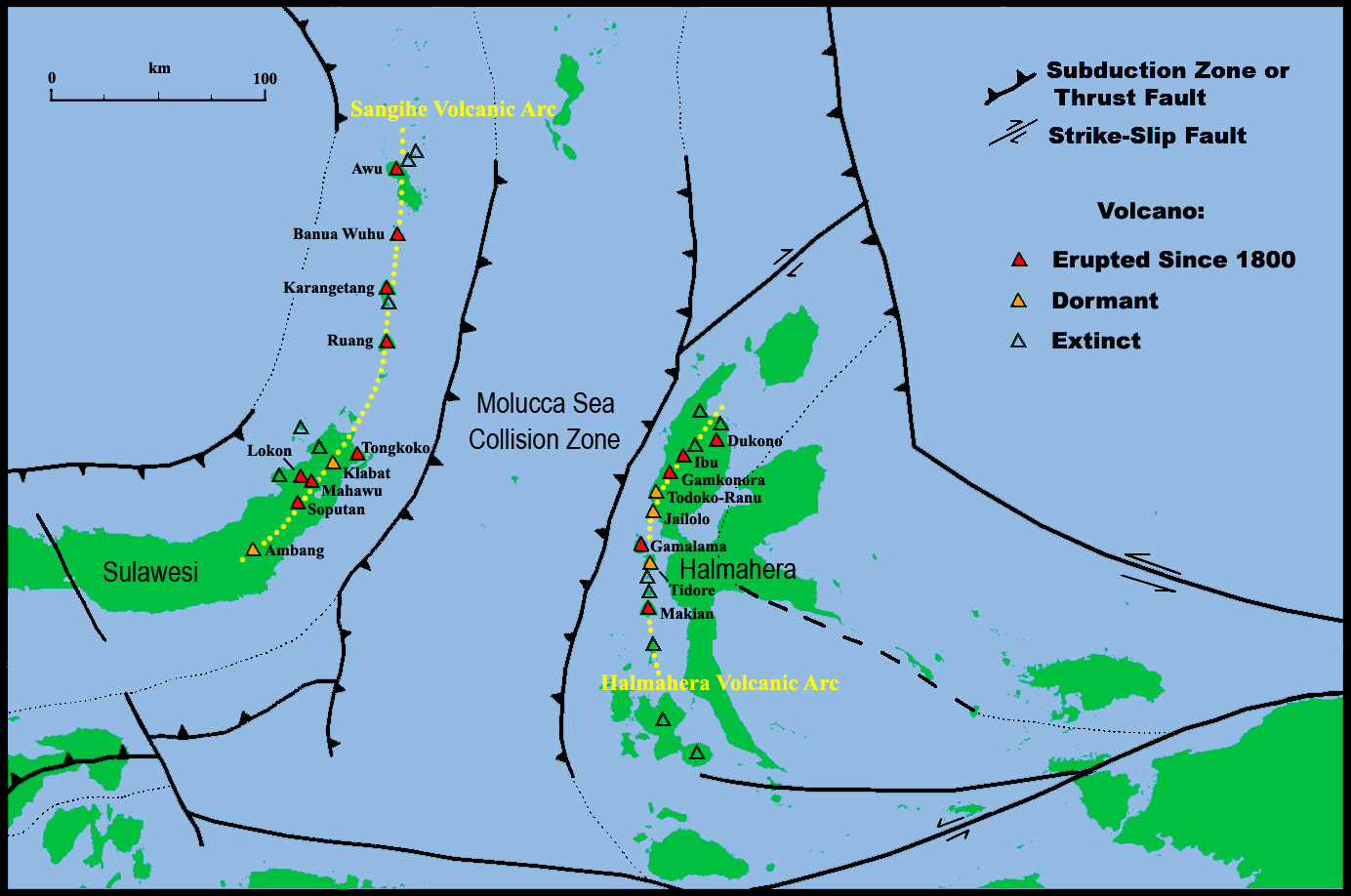
Map of Molucca Sea Region with Collision Zone and Volcanic Arcs indicated. Based on data from Google Maps, MacPherson et al. 2003 (Geol. Soc. London, Special Publ. 219, p.207-220), Siahaan et al. 2005 (Proc. World Geol. Congress, 5pp). Note: Only selected extinct volcanoes have been included in the map, many others exist in the Arcs. |
 |
 |
|
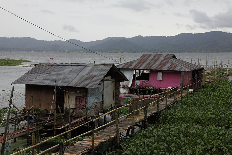
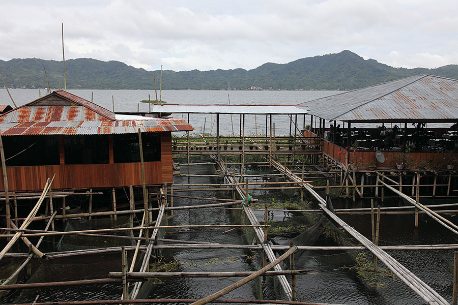
Houses on stilts, Lake Tondano |
Houses on stilts, Lake Tondano |
 |
 |
|
Restaurants on stilts, Lake Tondano |
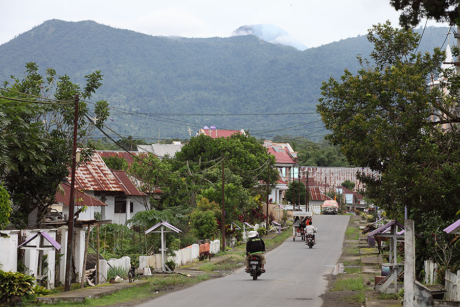
Lake Tondano with Soputan on horizon |
 |
 |
|
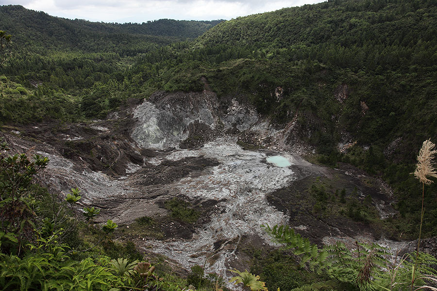
Kawa Masem crater, Temboan volcanic complex |
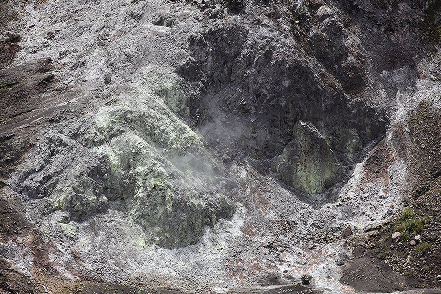
Solfatara in Kawa Masem crater |
 |
 |
 |
|
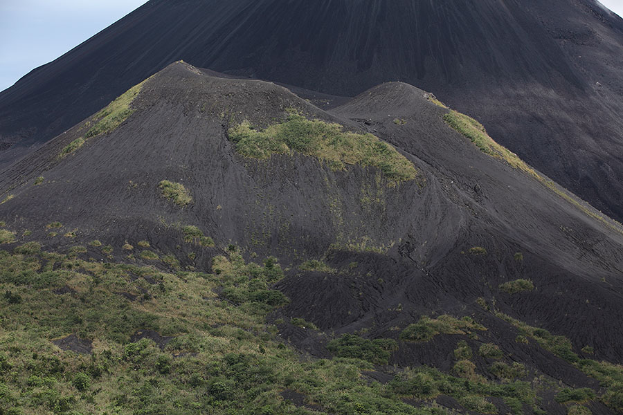
Aesoput tephra cone |
Aesoput with Soputan behind |
Aesoput with Soputan behind |
 |
 |
|
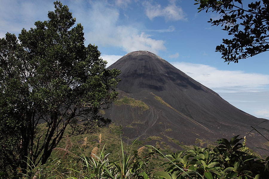
Soputan viewed through vegetation |
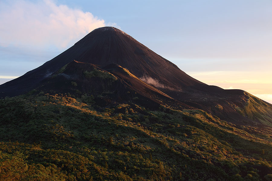
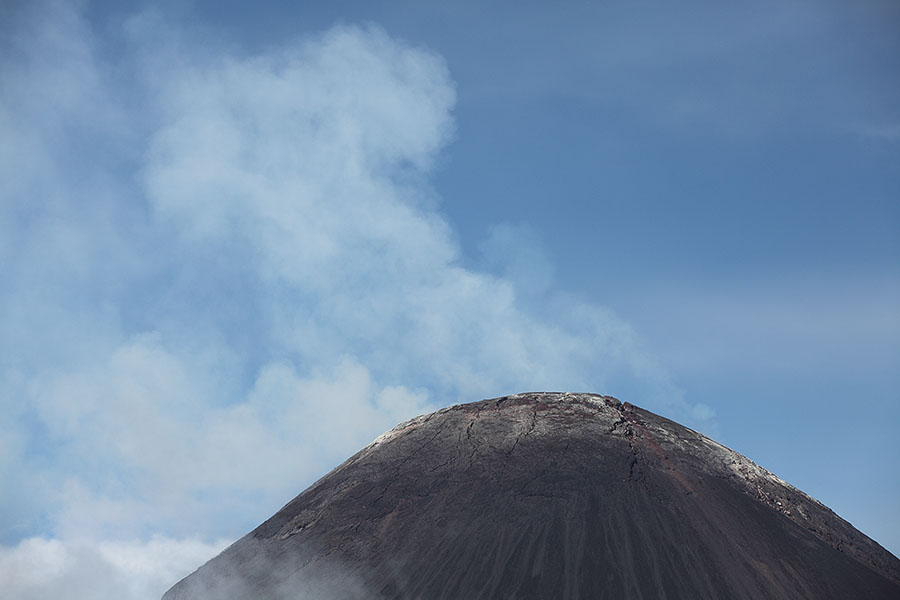
Soputan degassing at sunset |
 |
 |
|
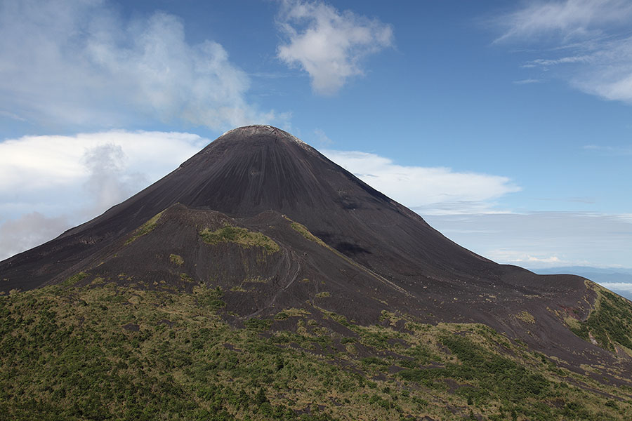
Soputan degassing |
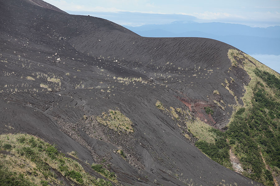
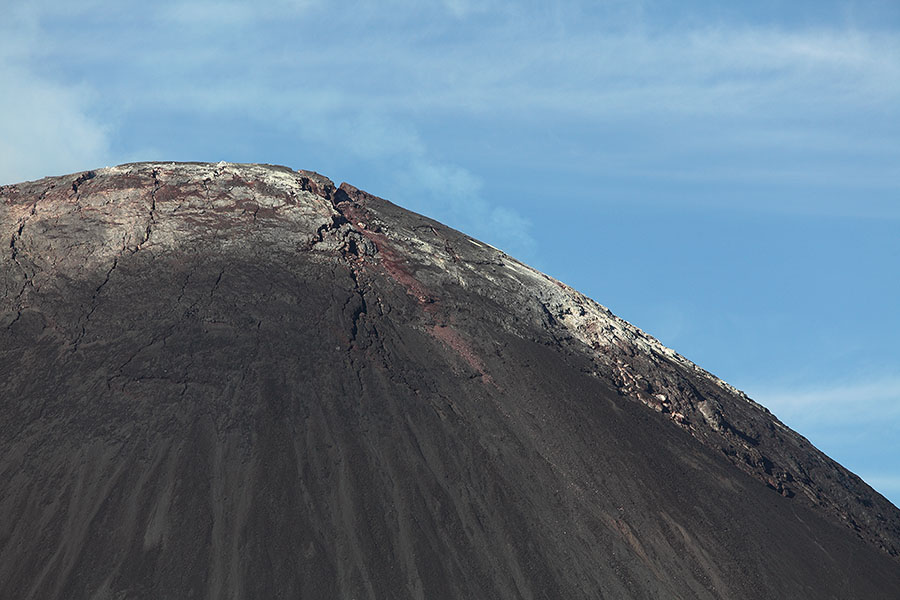
Rim on NW flank |
 |
 |
|
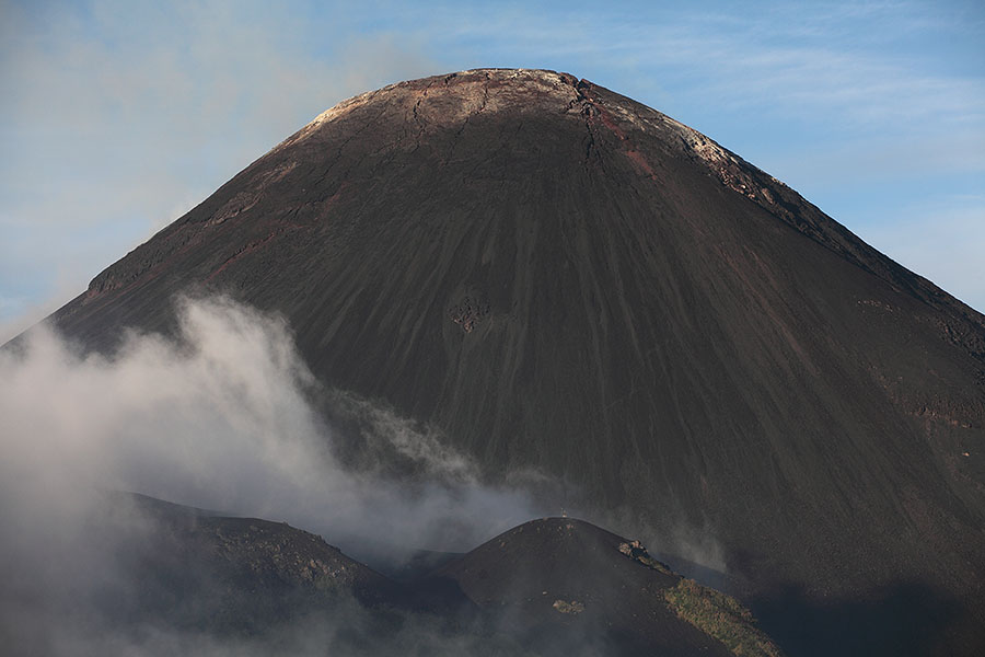
Dome of Soputan in morning light |
Degassing dome of Soputan |
 |
 |
|
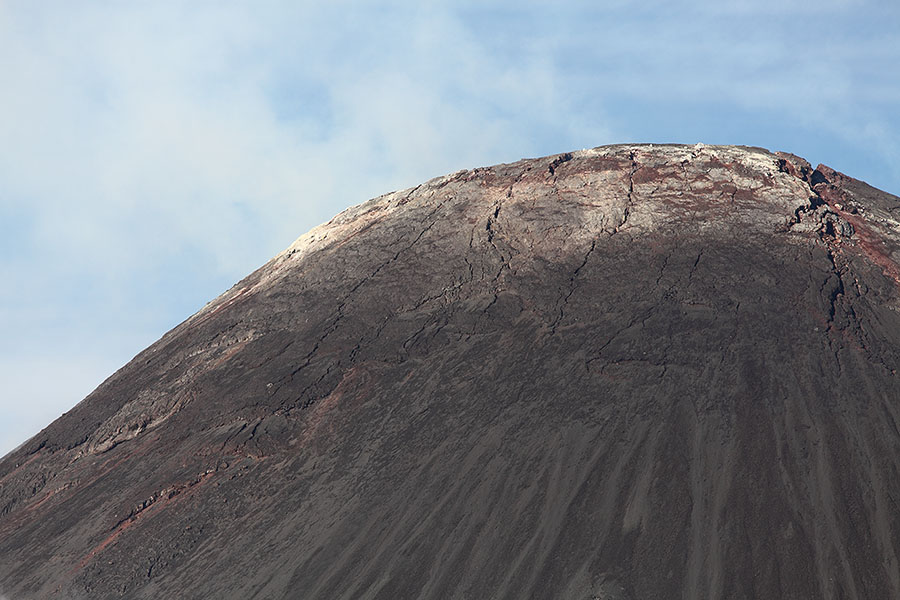
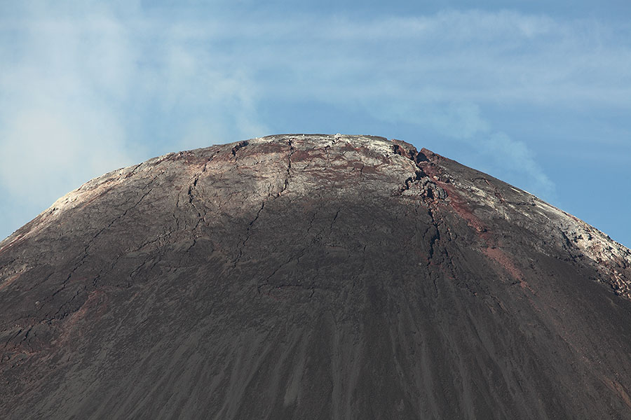
Soputan lava dome |
Soputan lava dome |
 |
 |
|
Soputan lava dome |
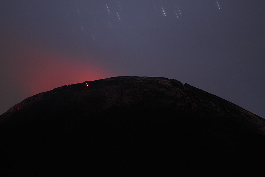
Weak incandescence on dome (July 2014) |
 |
 |
 |
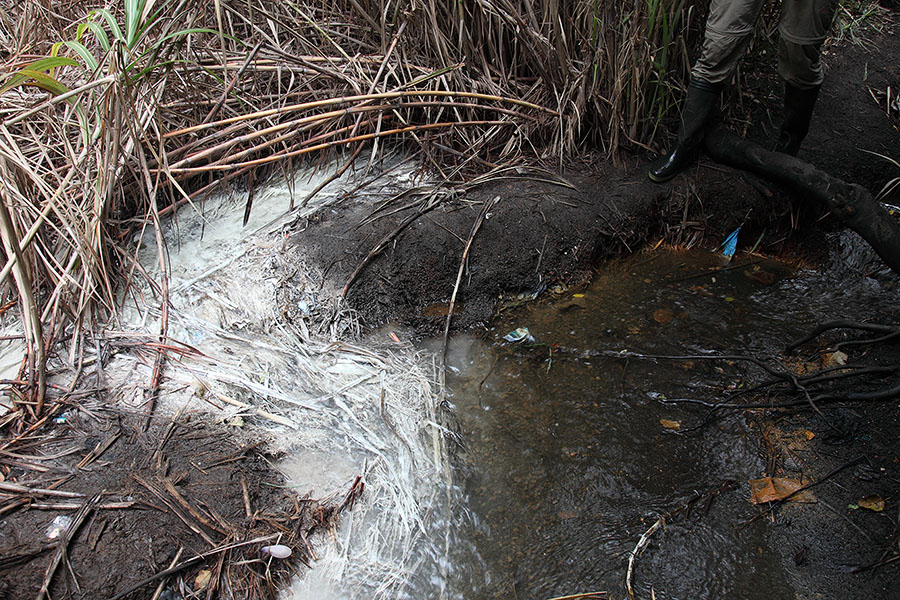
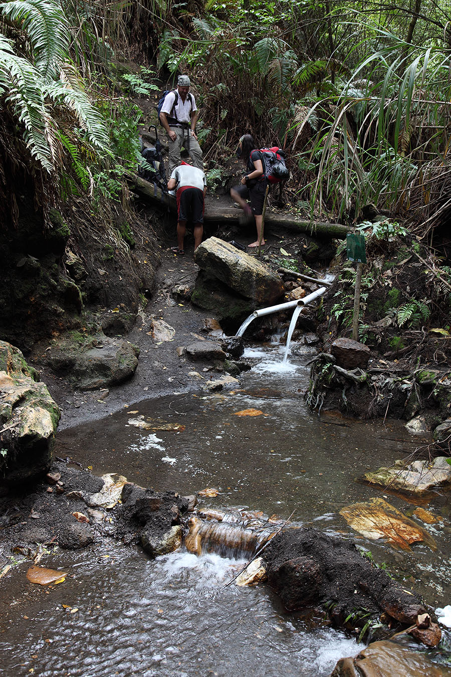
Sulfurous water entering Soputan river |
Upstream exit of trail from Soputan river |
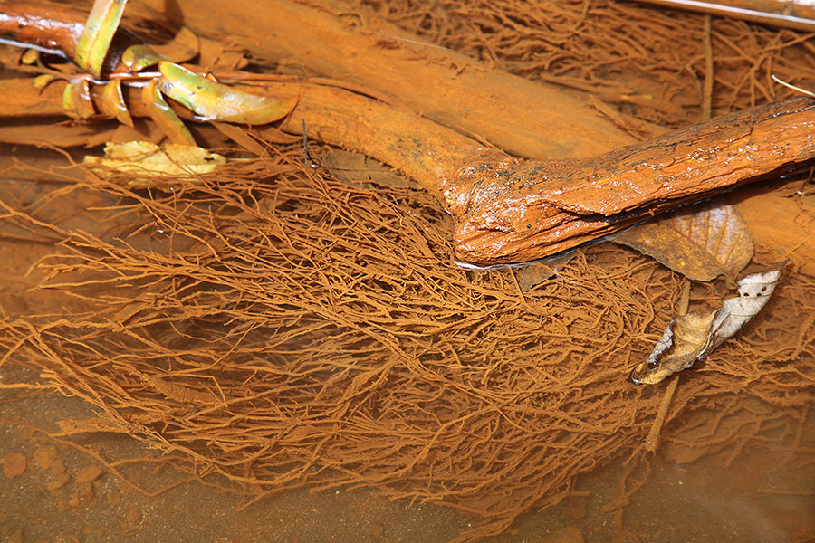
Ferrous compounds colour further downstream |
 |
 |
|
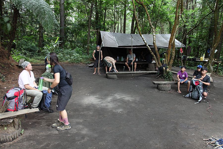
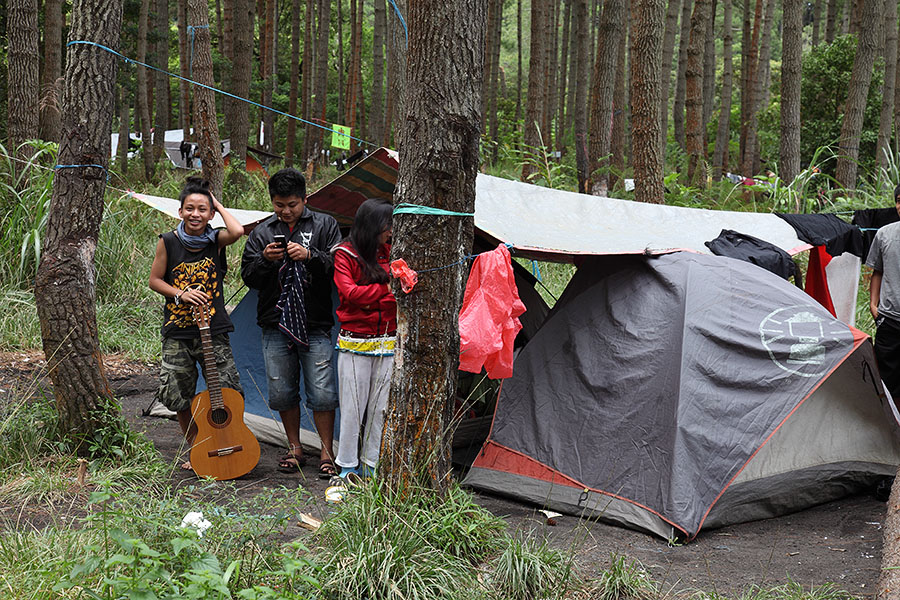
Camp "Pine" 1 |
Camp "Pine" 2 |
 |
 |
|
Camping at viewpoint NE of Soputan |
Camping at viewpoint NE of Soputan |
 |
 |
|
Approaching volcanic complex including Soputan |
Geothermal well near Soputan complex |