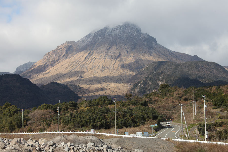
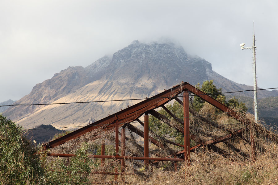
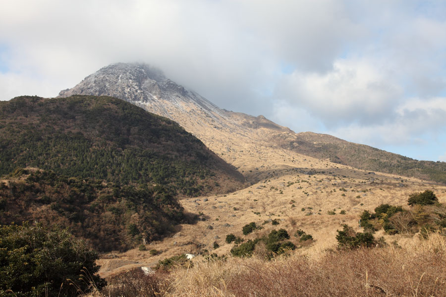
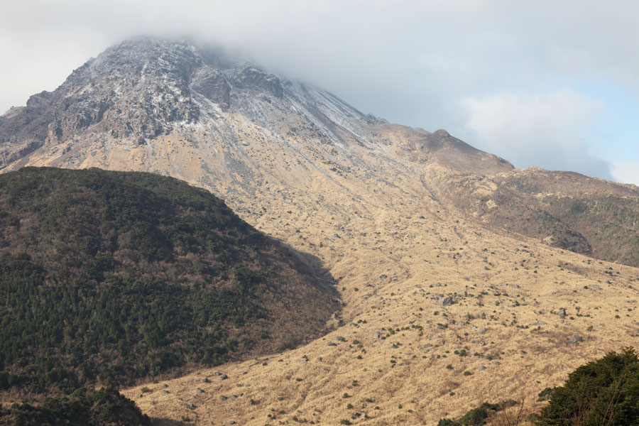
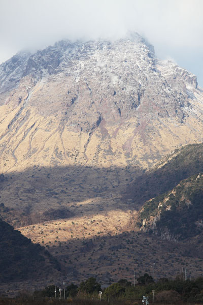
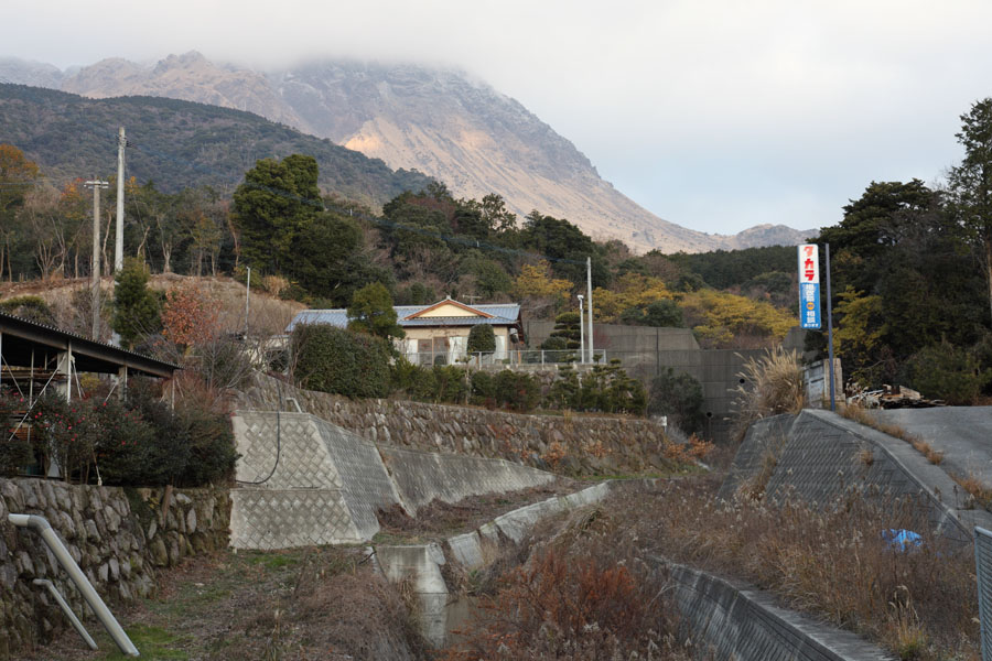
Unzen viewed from Kita-Kamikoba
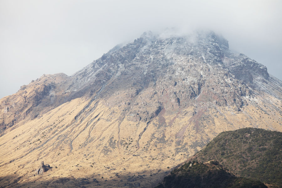
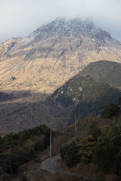
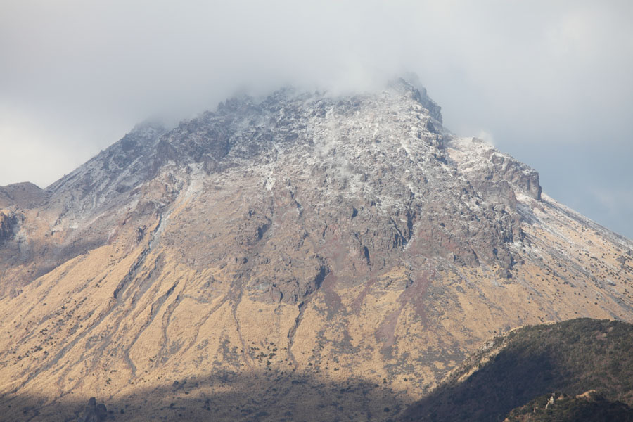
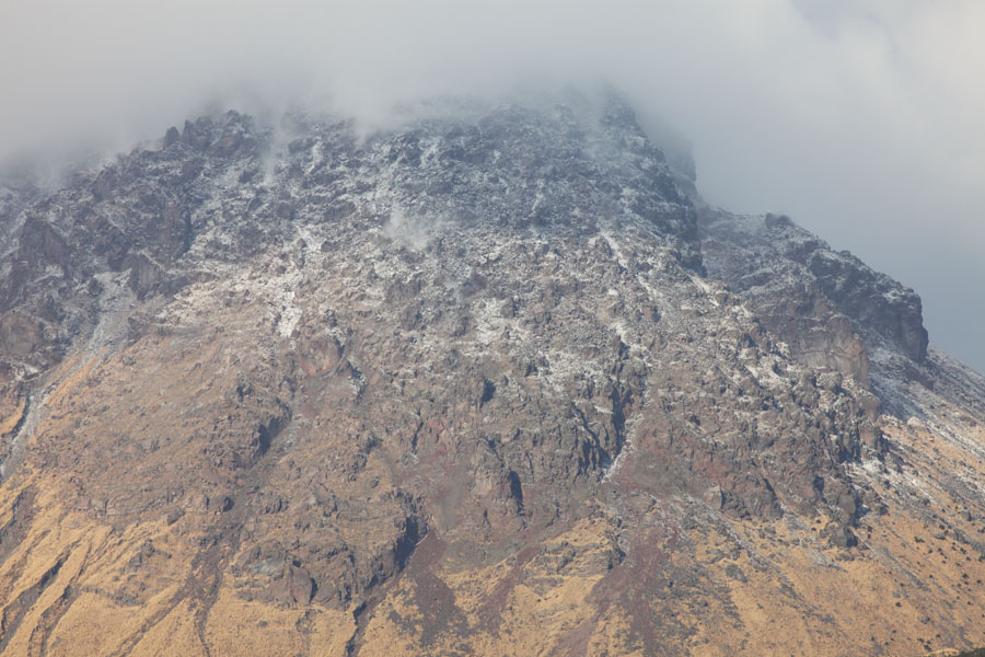
Closer view, revealing dome structure
|
|
Unzen viewed from Kita-Kamikoba |
Closer view, revealing dome structure |
 |
|
Sketch map of Fugendake part of Unzen volcanic complex. DOME indicates location of Heisei Shinzan dome (1483m) emplaced during 1990-95 eruption. (1) Former summit of Fugendake (1359m), (2) Myoken Caldera rim, (3) Kita-Kamikoba district, (4) Ohnokoba district, (5) Oshigadani valley, (6) Mizunashi river, (7) Akamatsudani valley, (8) Taruki height, (9) Senbongi district, (10) Amphitheatre of 1792 collapse. Note: Shimabara city was protected during the 1990-95 eruption by Mt. Mayuyama, source of the 1792 collapse. |
 |
|
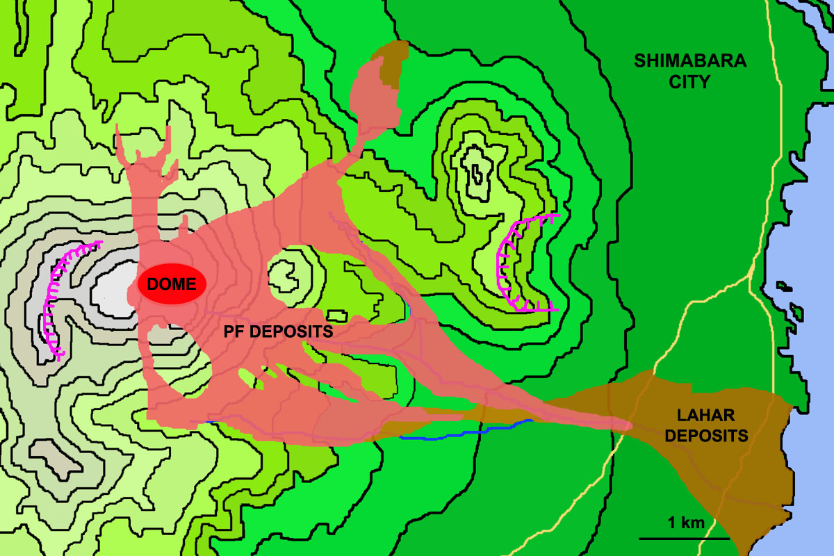
Sketch map showing cumulative extent of pyroclastic flow (PF) and Lahar (Debris Flow) deposits from 1990-95 eruption. |
 |
 |
|
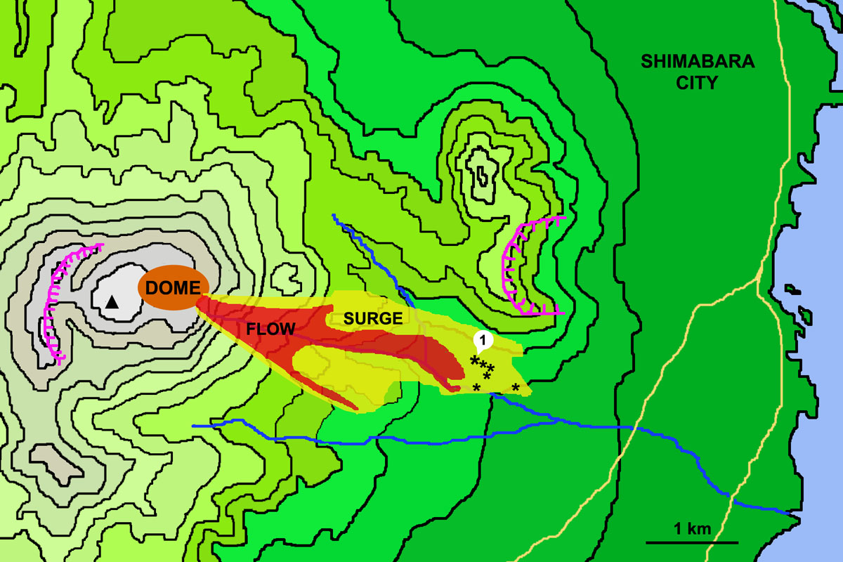
Sketch map showing approximate extent of fatal pyroclastic flow and surge on June 03, 1991. Stars indicate victim locations. Star labelled (1) is site at which bodies of Maurice & Katia Krafft were found. |
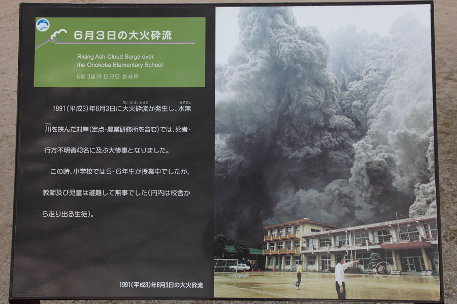
Information board apparently showing ash clouds from fatal PF rising behind school. The school survived this flow. |
 |
|
Sketch map showing extent of 15 September 1991 Pyroclastic flow and surge. Location of burnt Elementary School is indicated. |
 |
 |
 |
|
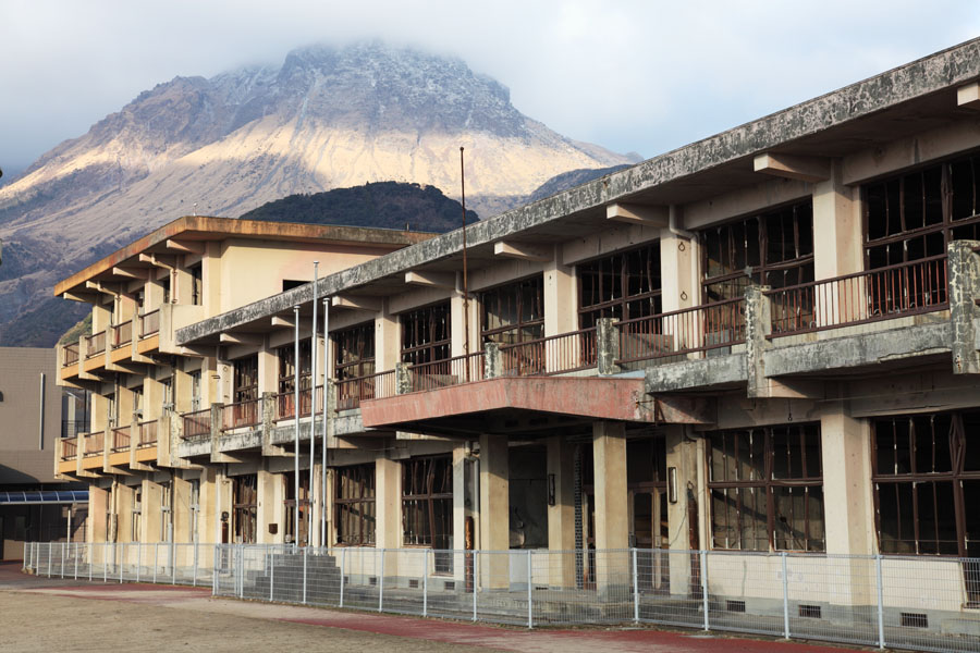
Burnt shell of Ohnokoba Elementary School |
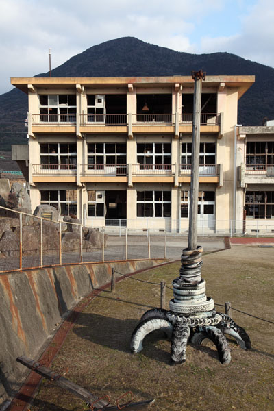
School and burnt playground feature |
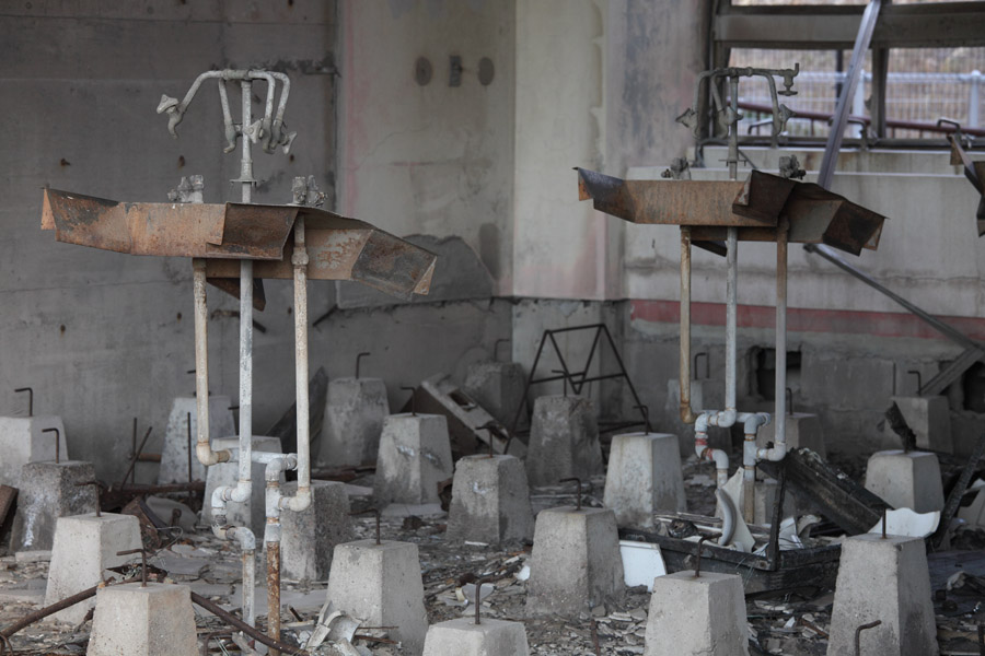
Remains of burnt out science (?) classroom |
 |
 |
 |
|
Burnt entrance of Ohnokoba Elementary School |
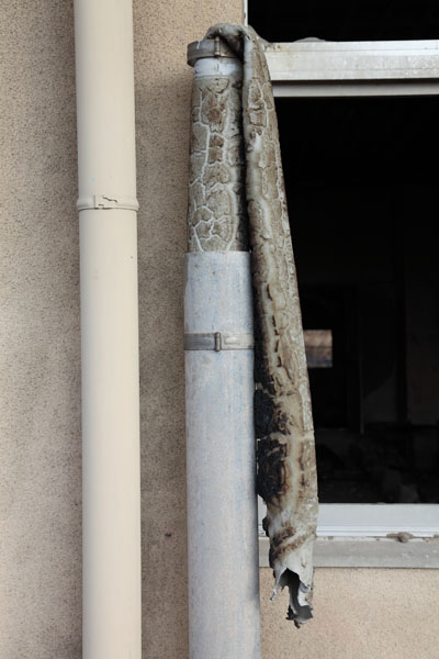
Vinyl drainpipe melted by surge and following fires |
Frame of building burnt by surges in Kita-Kamikoba area |
 |
 |
|
Oshigadani valley and its gorge which connects it to Mizunashi River (bottom left) |
Looking westwards over Oshigadani valley |
 |
 |
|
Remains of two large extrusion lobes |
Boulders on dome talus slope in Oshigadani valley |
 |
 |
 |
|
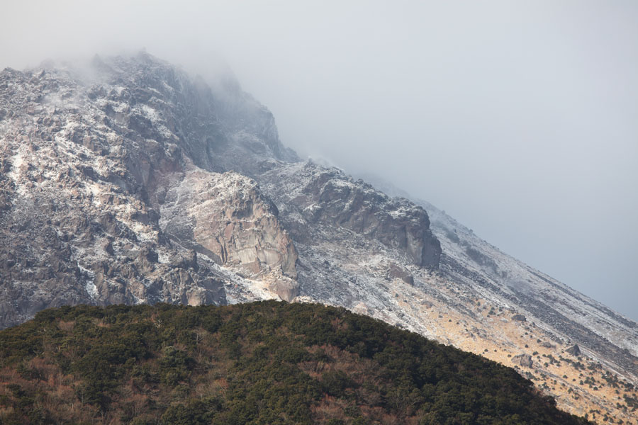
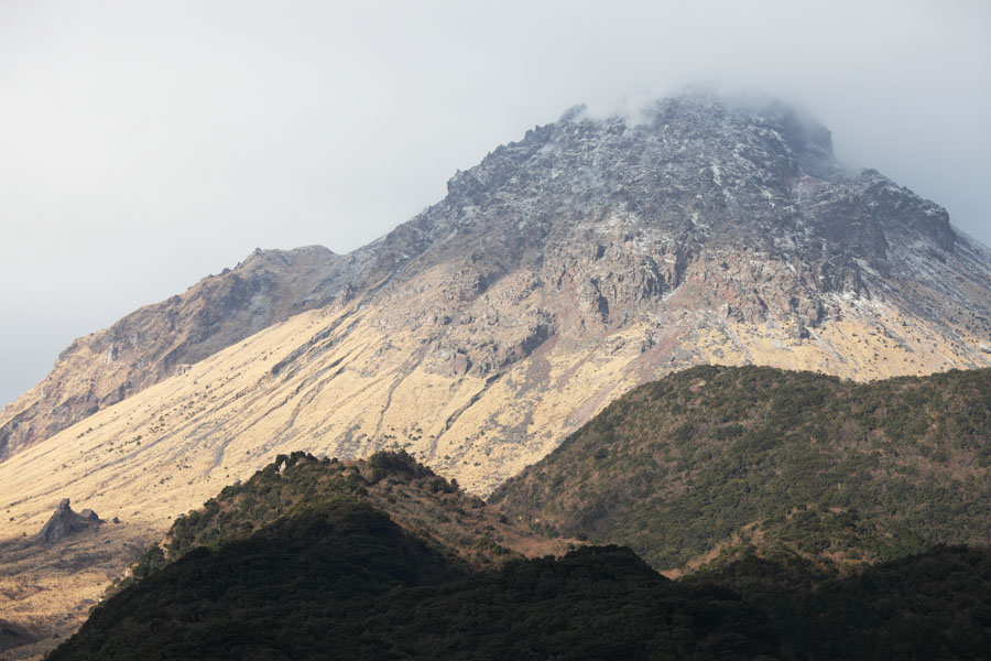
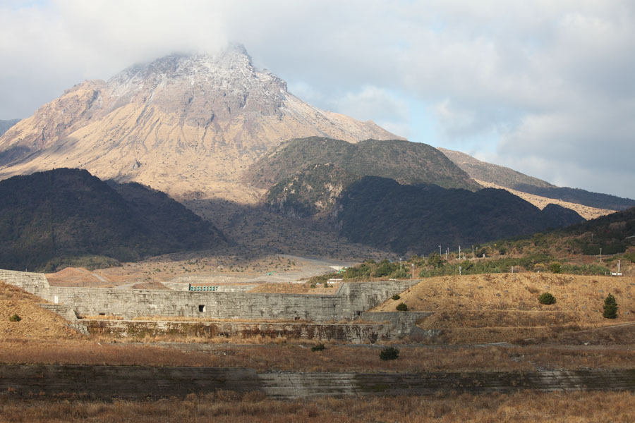
Mt Fugen / Heisei-Shinzan Peak |
 |
 |
 |
|
Mt Fugen Heizei-Shinzan dome complex |
 |
 |
|
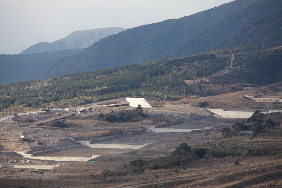
Sabo channels for erosion control |
Series of Sabo dams, Mizunashi River |
 |
 |
|
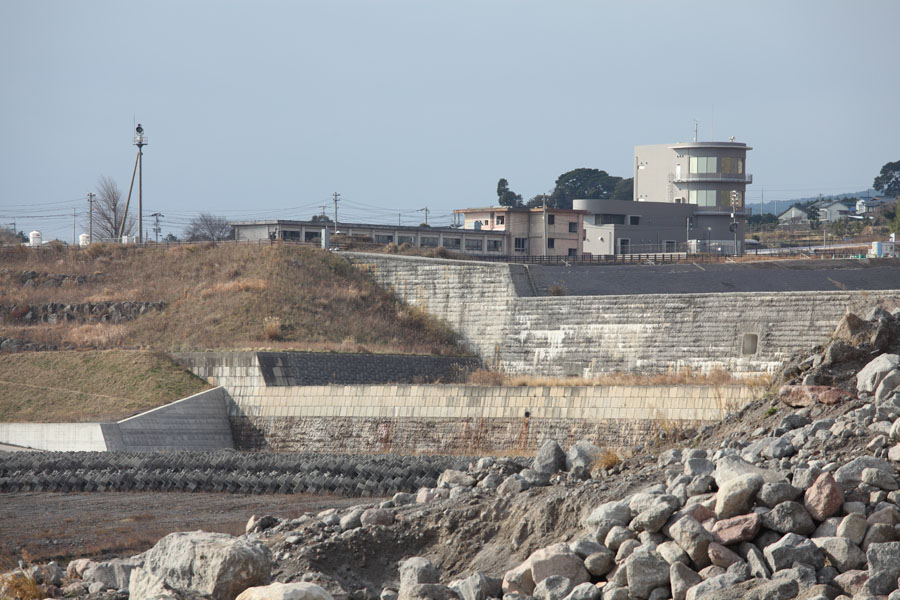
Sabo dams with school and observatory behind |
Series of Sabo dams, Mizunashi River |
 |
 |
|
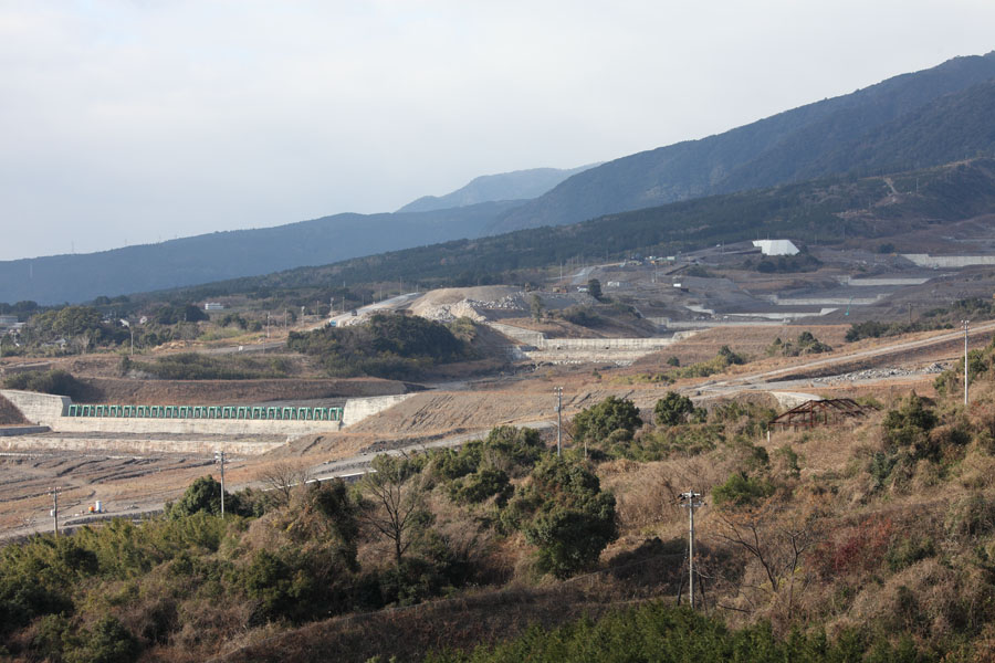
Series of Sabo dams (slit dam at left side), Mizunashi River |
Series of Sabo dams (stepped check dams) in Oshigadani River gorge |